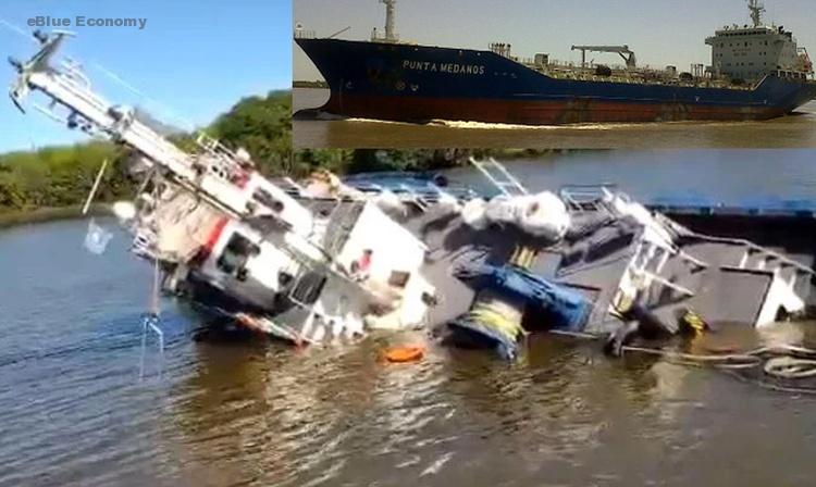
Tug RUA II is currently located at ECSA – East Coast South America at position 34° 50′ 29.868″ S, 57° 52′ 58.044″ Was reported by MarineTraffic Terrestrial Automatic Identification System on 2021-10-16 12:31 UTC (1 day ago) Marine Traffic explained
Added in its report : The vessel is currently at port LA PLATA, AR after a voyage of 3 hours, 49 minutes originating from port BUENOS AIRES, AR.
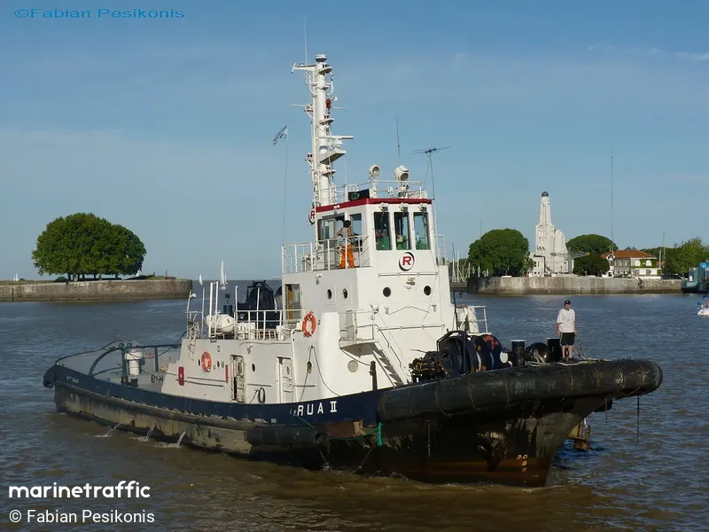
RUA II (IMO: 7731062) is a Tug that was built in 1976 (45 years ago) and is sailing under the flag of Argentina.
Its carrying capacity is 109 t DWT and her current draught is reported to be 3.8 meters. Her length overall (LOA) is 32.85 meters and her width is 10 meters.
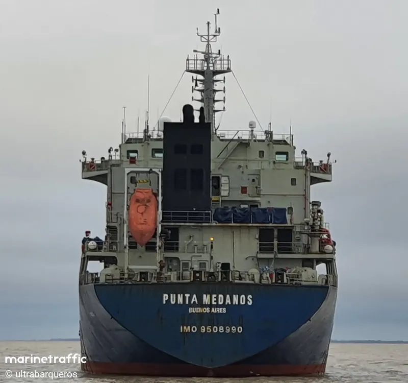
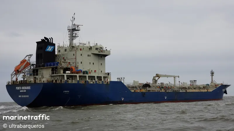
As Marine Traffic reported: Oil/Chemical Tanker PUNTA MEDANOS is currently located at ECSA – East Coast South America at position 34° 52′ 2.424″ S, 57° 53′ 46.284″ Was reported by MarineTraffic Terrestrial Automatic Identification System on 2021-10-17 13:00 UTC (3 minutes ago)
It added: The wind in this area at that time blows from Northwest direction at force 3 Beaufort
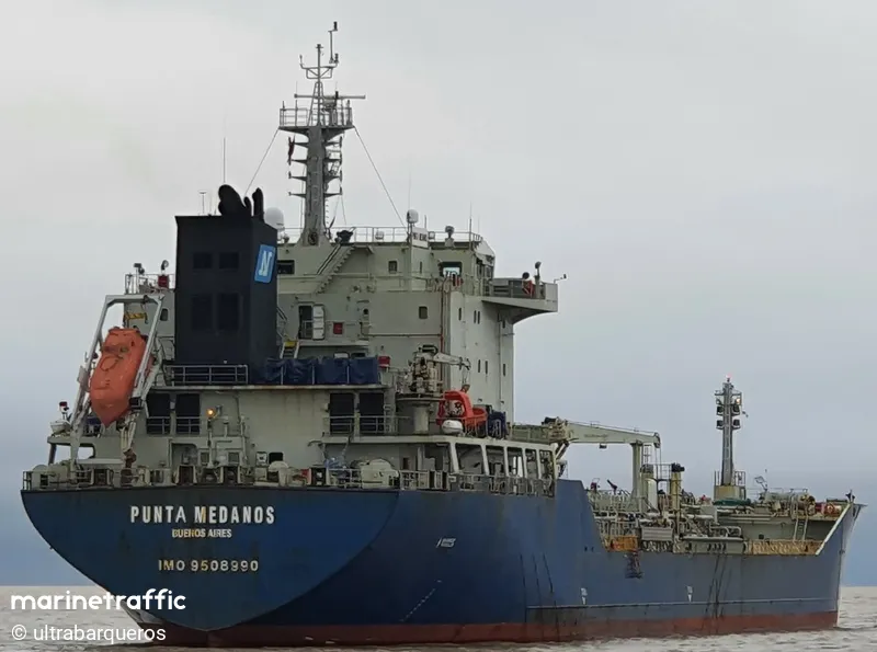
The vessel is currently at port LA PLATA, AR after a voyage of 4 days, 16 hours originating from port MAR DEL PLATA, AR.
PUNTA MEDANOS (IMO: 9508990) is an Oil/Chemical Tanker that was built in 2011 (10 years ago) and is sailing under the flag of Argentina.
Its carrying capacity is 16647 t DWT and her current draught is reported to be 5.5 meters. Her length overall (LOA) is 145.15 meters and her width is 23 meters.
New FleetMon Vessel Safety Risk Reports Available: https://www.fleetmon.com/services/vessel-risk-rating/


